Permit Planner
Zoning Check
Take the guesswork out of zoning. Check zoning to see where your business is allowed.
Check my zoningToledo GIS Zoning Map
The Toledo Lucas County Plan Commissions has prepared a version of the official zoning maps for the City of Toledo in a searchable geographic map format. A full screen version is also available below with additional features. Information on this map may not reflect the most current zoning legislation or a comprehensive listing of all Planned Unit Developments (PUDs) and is intended for general information purposes only. For official zoning determinations please contact the Toledo-Lucas County Plan Commission at (419) 245-1200. Due to browser compatibility this map is optimized for use on Edge or Chrome desktop browsers.
Digital Zoning Maps
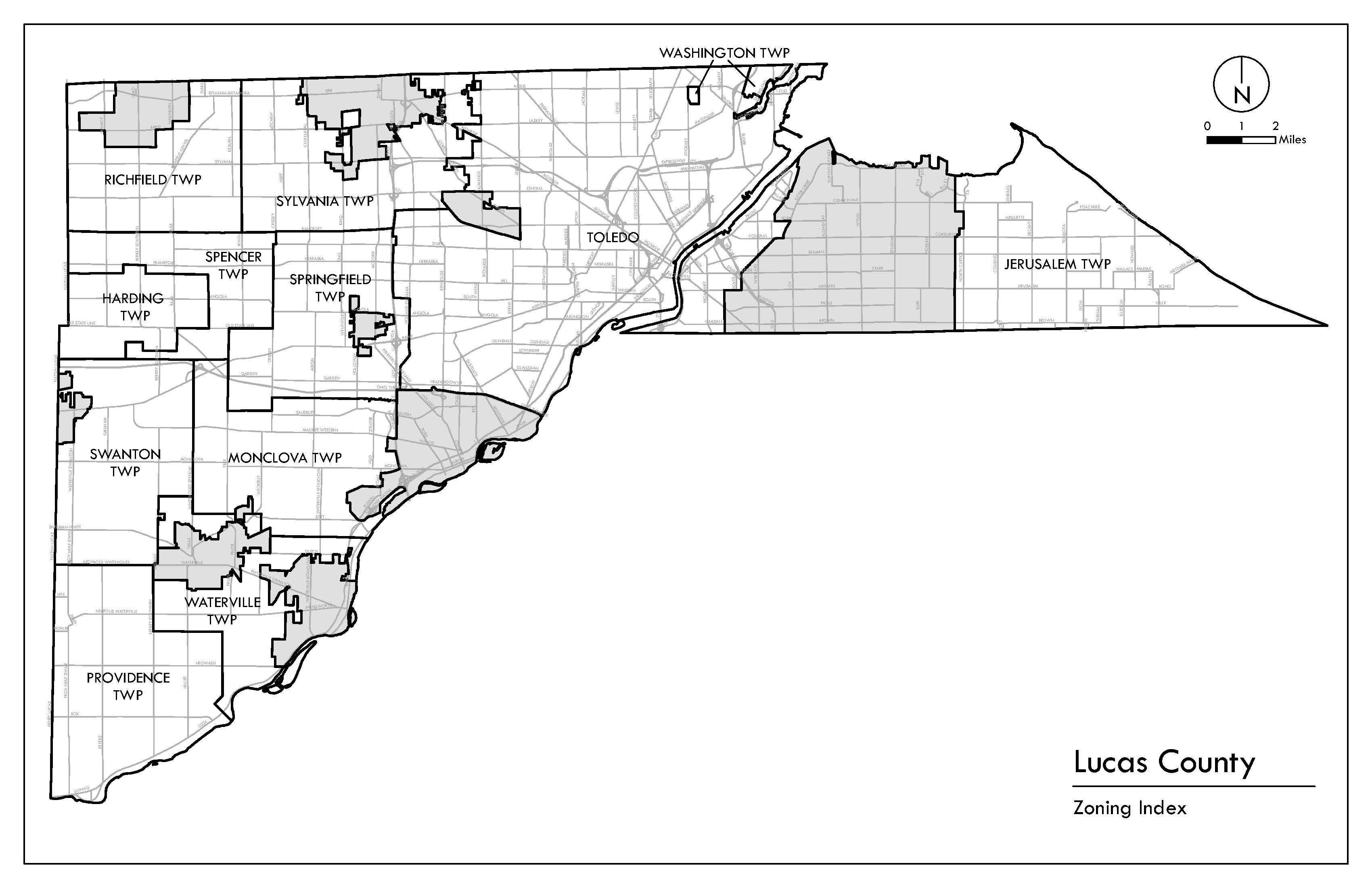
The Toledo Lucas County Plan Commissions has prepared the official zoning maps for the City of Toledo and all Lucas County Townships in a digital PDF format. These maps may not reflect the most current zoning legislation or a comprehensive listing of all Planned Unit Developments (PUDs) and are intended for general information purposes only. For official zoning determinations please contact the Toledo-Lucas County Plan Commission at (419) 245-1200.
Index maps of each area where zoning is maintained by this office is available below the link to the full Lucas County index. Once you identify the specific zoning map click over the appropriate number and the zoning map will load.
